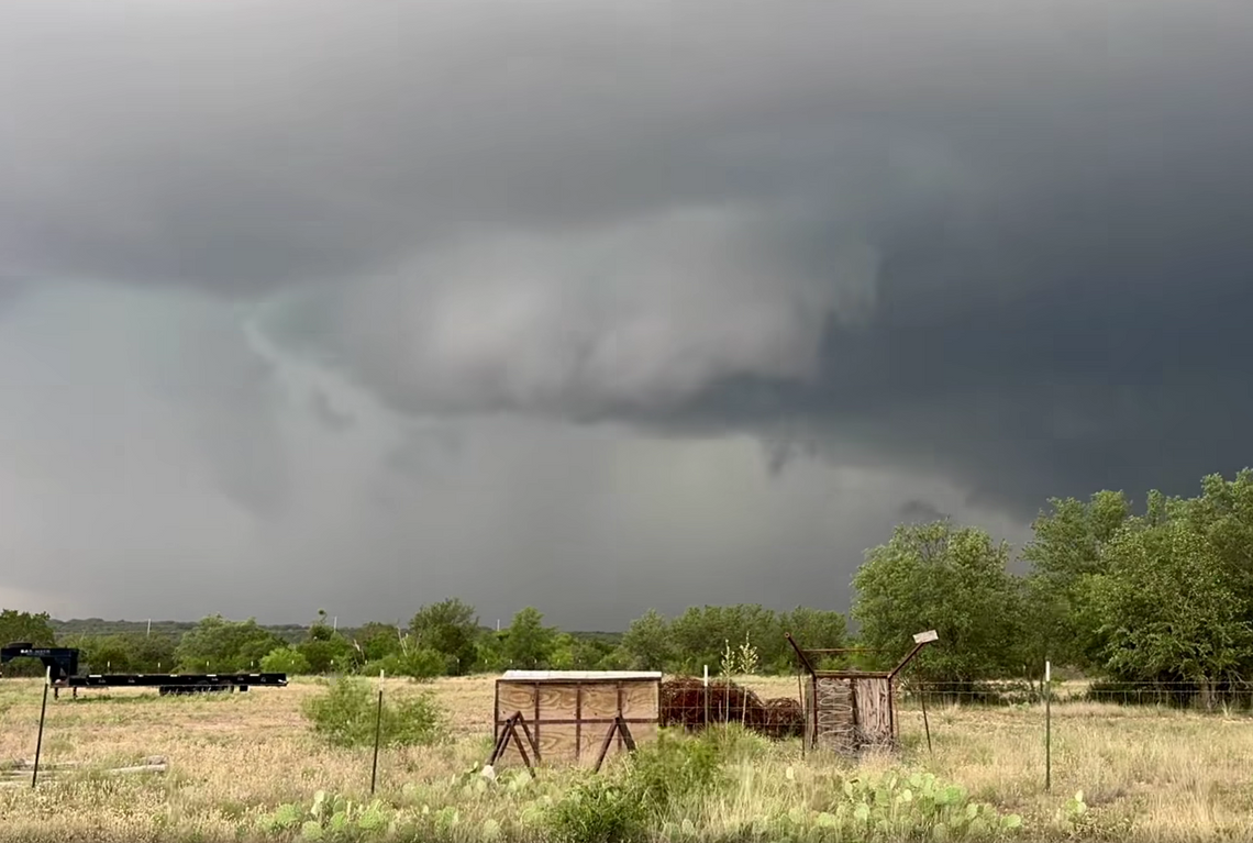
A wave of powerful storms pummeled the Texas Hill Country on Memorial Day, bringing a confirmed tornado, destructive wind gusts, large hail, and heavy rainfall across multiple counties. The severe weather system left widespread damage in its wake—from Mason to Gillespie counties—and caused power outages, downed trees, and structural damage across the region.
On the evening of Monday, May 26, the National Weather Service issued multiple severe weather alerts across Central Texas, including Tornado Watches and Severe Thunderstorm Warnings that specifically covered several Hill Country counties including Mason, Llano, Gillespie. These alerts were triggered by an intensifying line of storms moving eastward, capable of producing large hail, damaging winds up to 70 mph, and isolated tornadoes. The region was under a Level 3 (Enhanced Risk) severe weather outlook, reflecting the elevated potential for significant storm impacts. While larger metropolitan areas like Austin and San Antonio were also included in the broader Tornado Watch area, the most dangerous storm activity developed over the rural Hill Country, where radar-indicated rotation and confirmed tornadoes prompted real-time warnings. Flash Flood Watches were also issued, warning of the potential for heavy rain and rapid runoff in the rocky terrain typical of the region. The alerts emphasized the need for residents to remain weather-aware and have shelter plans in place.
A confirmed tornado touched down near Menard around 4:30 pm. The tornado snapped trees and downed power lines. No injuries were reported, and emergency crews began cleanup and restoration efforts shortly after the storm passed.


