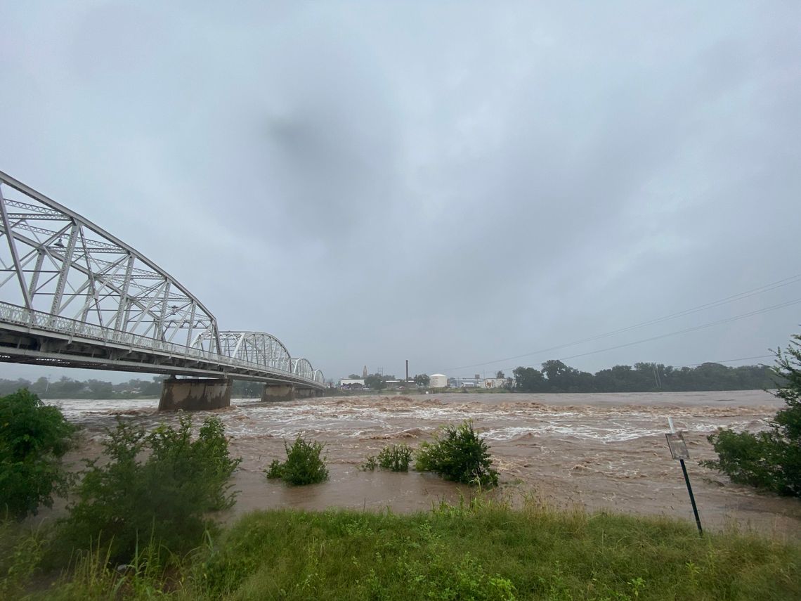
As daylight broke on July 4, a steady rain fell across the Hill Country as news of overnight flash flooding in Hunt, Ingram, and Kerrville spread quickly—through frantic phone calls, urgent social media posts, and breaking news alerts. The Guadalupe River had risen violently in the night, sweeping away vehicles, homes and campsites, and leaving dozens missing and families desperate for answers. As the gravity of the situation unfolded, communities along the Llano River began to brace for what they knew would come next.
With so many rivers, creeks, and tributaries winding tightly through the Hill Country’s rugged terrain, the region functions like a vast, interconnected drainage system. When intense rainfall hits upstream—especially in already saturated areas—the water quickly funnels into narrow riverbeds, causing rapid rises and flash flooding. Channels like the Guadalupe, Llano, Pedernales, and San Saba often rise in close succession, as their watersheds overlap and feed into one another. A flood event in one basin often signals that others will soon follow, with the overflow ultimately collecting in the Highland Lakes system. This chain reaction gives residents little time to react and underscores the critical importance of early warnings and coordinated emergency response across county lines.
Waters Rise Across County Lines


